


See how our solutions and technology can fast-track your productivity and profits.
Experience the benefits of high-speed data capture, immediate on-site analysis, and precise 3D verification.
Select the right tool for the job. Our range of scanners allows you to perform high-density and high-speed scanning. Leverage high-resolution cameras for comprehensive site-wide scans and complete data capture.
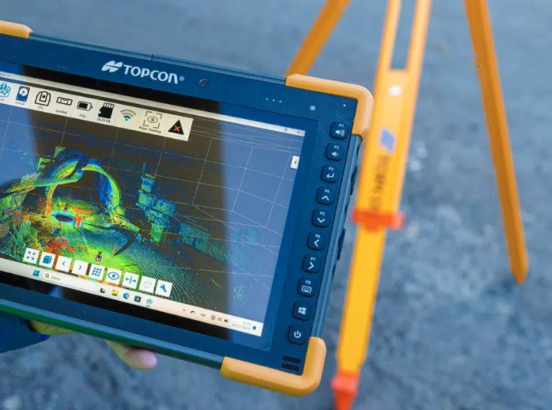
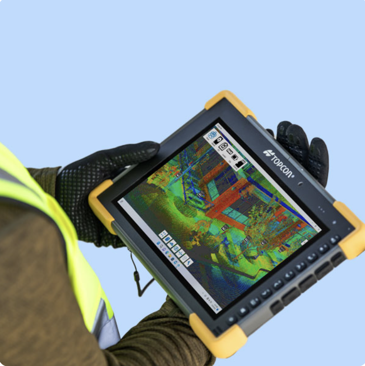
Use our field software to register and process your scans in real-time. With a terrestrial laser scanner, you can instantly verify data coverage and accuracy, ensuring you have a complete dataset before leaving the job site.
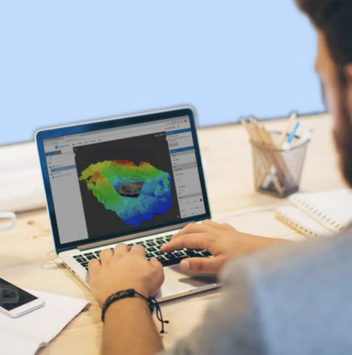
Generate reports and perform volume calculations directly in the field. Export the registered point cloud or utilize innovative techniques like Gaussian splatting to create precise digital twins, BIM models, and other critical project deliverables.
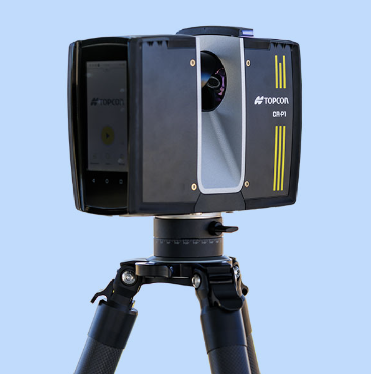
Compact and lightweight
High-performance scanner
Real-time scan registration and real-time complete dataset processing
CR-P1 100: 100 m / 330 ft
CR-P1 200: 200 m / 655 ft
V: 300° / H: 360°
2,000,000 pts per second
Class1
Robotic total station with integrated laser scanner
Construction verification, scanning, site and field survey, layout, staking, Hybrid Positioning™
70 m
230 ft
V: 270° / H: 360°
200,000 pts per second
Class1
Hand-Held Mobile Scanner
Utilities and subsurface mapping,
Construction verification and Earthworks,
Stockpiles
Civil Engineering and site verification
10 m
33 ft
V: 360° / H: 360°
Depends on the phone model
Class1
Hand-Held Scanner with VSLAM technology
Topographic mapping and geospatial data, Construction site surveys and progress monitoring, Infrastructure assessment and maintenance, Emergency response and disaster management, Dense forests or urban canyons
70 m
230 ft
V: -7 to + 52° / H: 360°
200,000 pts per second
Panoramic cameras: 12MP ×2
VSLAM cameras: 1.3MP ×2
Class1
Hand-Held Scanner with MLF-SLAM technology
Featureless environments such as airports, beaches, and rivers, Topographic mapping and geospatial data, Construction site surveys and progress monitoring, Infrastructure assessment and maintenance, Emergency response and disaster management
120 m
393 ft
V: 360° / H: 280°
320,000 pts per second
Panoramic cameras: 12MP ×3
VSLAM cameras: 1.3MP ×2
Class1
Compact and handy versatile multi-sensor mapping system for use with a backpack, on a pole or tip, or even on a vehicle
Digital twins, BIM, Construction, Facility management for multi-story buildings, Industrial plants, Mining, Tunneling, Heritage, Tourism
120 m
393 ft
V: 360° / H: 360°
640,000 pts per second
360°-Panoramic camera: 4 lenses – 4K Ultra HD
Class1